The Global Wind Atlas
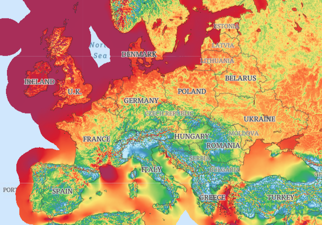
The Global Wind Atlas is an application making it possible to explore the typical amount of wind flowing in all areas of Europe, and in the rest of the world. It is mainly meant at making it easier to identify valuable ares for wind power generation, a component of the ongoing energy transition. The application was developed by the Technical University of Denmark in collaboration with the World Bank Group, as part of the Energy Sector Management Assistance Program’s initiative on Renewable Energy Resource Mapping .
The Global Wind Atlas is free to use and comes with extensive notes, explanations and tutorials. For each point or area, the data describes the mean wind speed and power, and the estimated energy yield of a wind turbine. The information covers 250mx250m cells, both onshore and up to 200km from the shoreline, and it comes at 5 different heights (from 10 to 200m above ground or sea level). It is also possible to assess the variability of wind over time. The original wind data comes from the ERA5 dataset created by the European Centre for Medium-Range Weather Forecasts (ECMWF), which underwent some substantial modeling.
Datasets and maps can be downloaded in different formats and allow for some customisation.
https://globalwindatlas.info/

