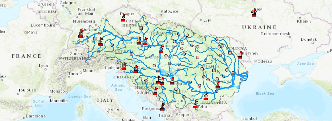
Danube water management (DanubeGIS)
Datasets conveyed by DanubeGIS cover industrial and urban pollution sources, waste water treatment, continuity interruptions for fish migration, hydrological alterations and the status assessment of water bodies.
The database collects relevant data sources in a harmonised format, allowing cross-country comparison. Data are collected at the national level through a jointly accepted data policy.
In the GIS web map viewer one can select any of the over 40 thematic maps, zoom into them and find out about the detailed data of each feature on the map by simply clicking on it.
Each map can also be exported as a georeferenced image file or accessed directly as a Web Map Service (WMS) – this allows GIS experts to use the map in any software supporting these standard services.
Users who are interested in more in-depth work with the available data can sign-up for a user account to reveal more expert system features.
The DanubeGIS platform is implemented by the International Commission for the protection of the Danube River.
https://www.danubegis.org/

